01Point Cloud & Geospatial
Refinery Brownfield As-Built Modelling
A 14-hectare operating refinery converted from the client's registered scan data into a classified, clash-checked Plant 3D as-built model for a multi-year retrofit programme.
- Point Cloud
- Energy & Resources
- Middle East
- 2024
- Client
- Middle East energy operator
- Location
- Middle East
- Year
- 2024
- Sector
- Energy & Resources
- Service
- Point Cloud & Geospatial
- Scope
- 14 hectares
- Deliverable
- Plant 3D as-built model
02The Project
From the client's data to a deliverable their team builds on.
- 01
The brief
An operating refinery was preparing a multi-year retrofit programme. Its survey provider had already captured the 14-hectare site; the operator needed that data turned into an as-built model its design teams could trust.
- 02
Our approach
We received the registered point cloud from the client's capture provider, verified the registration, classified the data, and modelled vessels, pipe racks, MEP systems and structural steel in Plant 3D — every deliverable through our 3-level QA/QC, over ISO 27001-secured channels.
- 03
The outcome
A classified, clash-checked and federated Plant 3D as-built model, handed over in the client's native formats and ready for the retrofit design teams to build on.
03Project Views
Inside the project
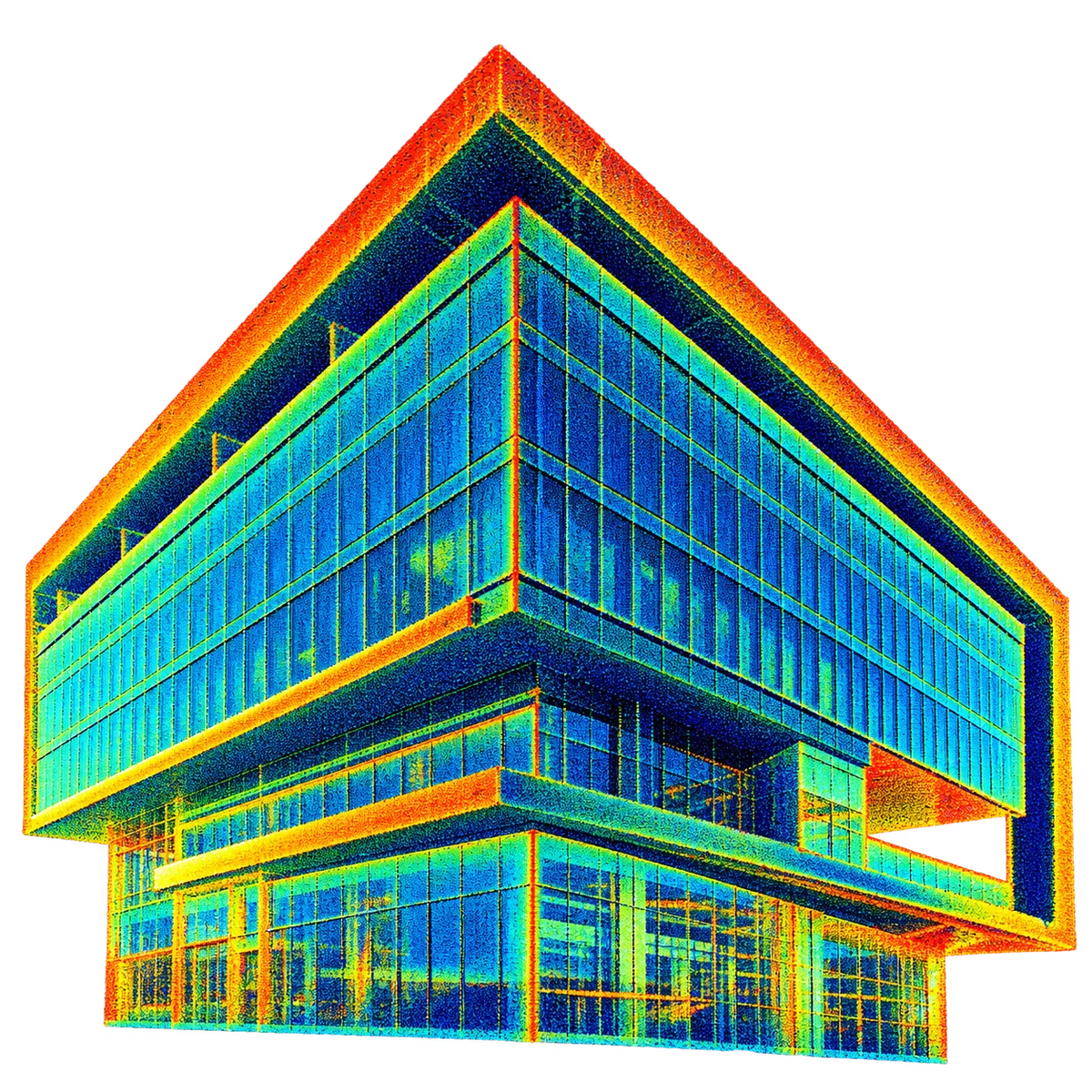
01 Registered point cloud supplied by the client, coloured by intensity.
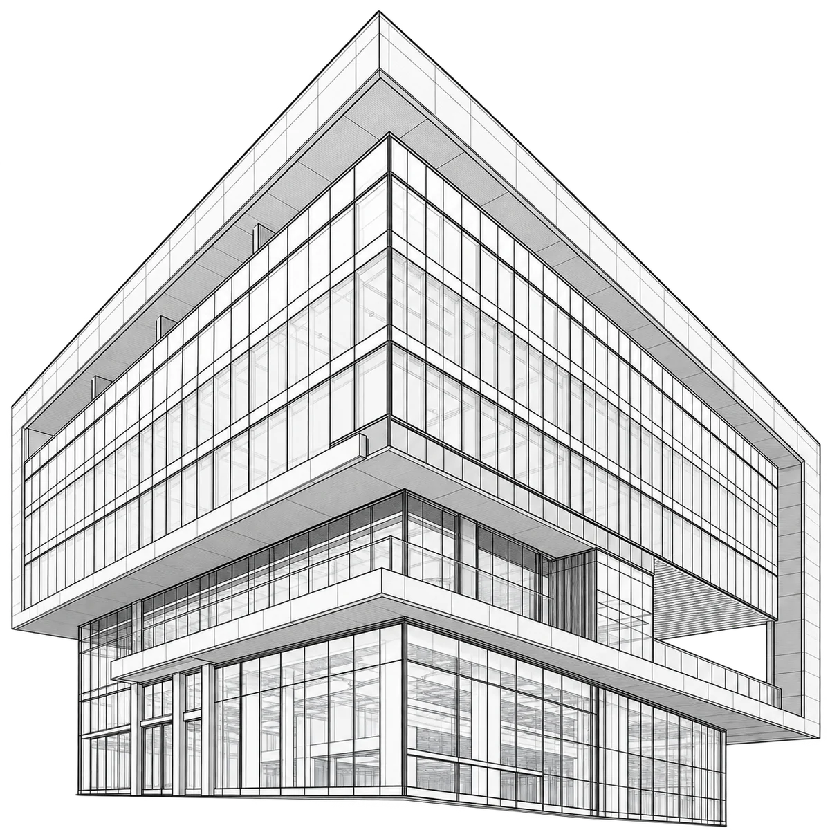
02 Wireframe check of the model against the point cloud.
03 Elevation geometry traced from the scan.
04 Section of the scan used for façade setting-out.
05 Presentation view for the client team.
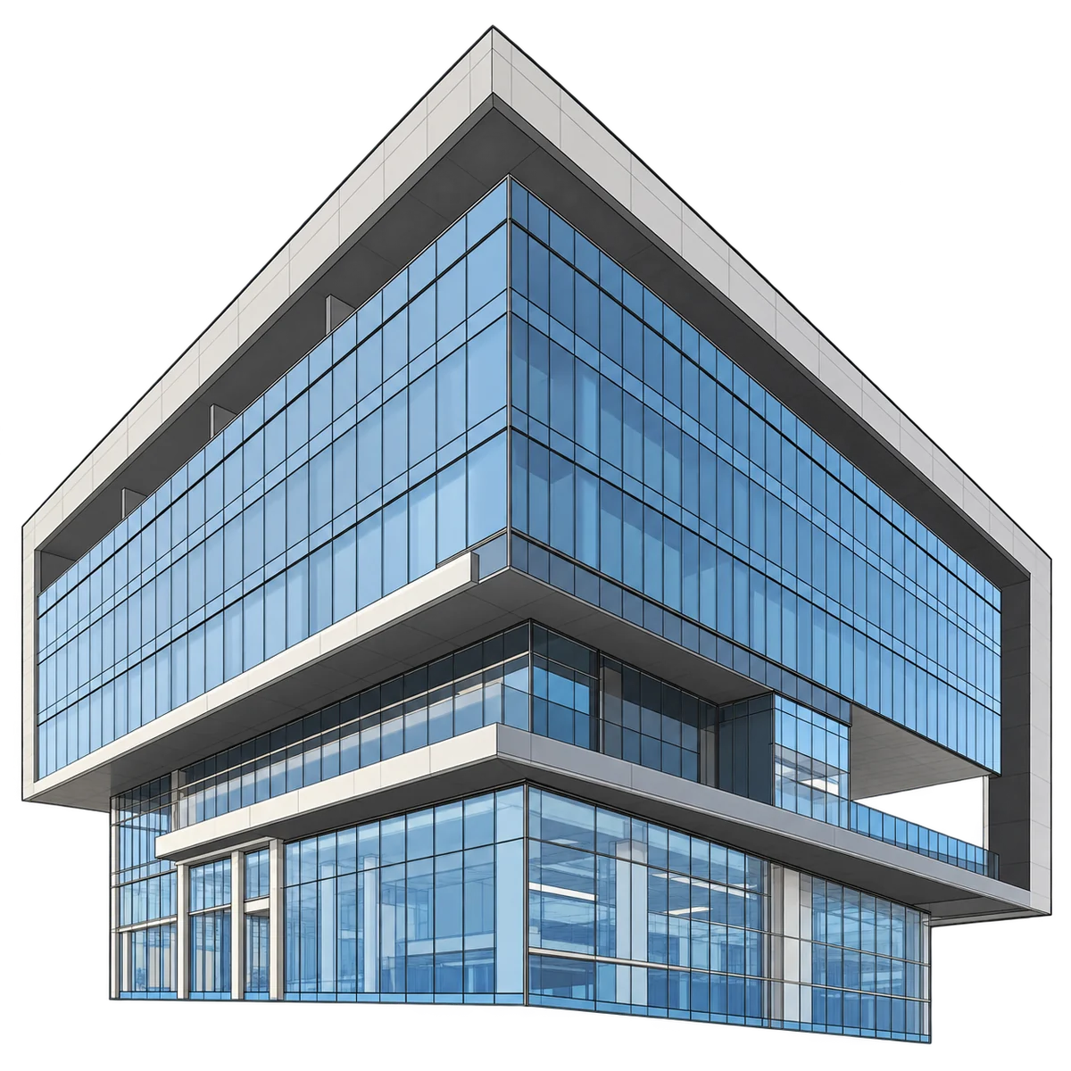
06 Finished model, materials applied.
04More Projects
Related work
 2024
Transport & Aviation
Rail Corridor As-Built Modelling
For a European rail operator
- Scope
- 32 km · 110 stations
- LOD
- LOD 350
- 2023
Heritage, Urban & Smart Cities
Heritage Building BIM
For a UK heritage conservation body
- Status
- Grade I listed
- Deliverable
- Heritage BIM
- 2023–26
Commercial & Mixed-Use
Modelling Capacity Framework
For a UK survey firm · under NDA
- Engagement
- 36-month framework
- Model
- White-label
05Start a Free Pilot Project
Get a Free Pilot Project.
Point Cloud to BIM/CAD, BIM Modelling, Geospatial Deliverables, CAD Drafting, or CGI Visualisation.
Send us your scan data, drawings, or project brief. We'll deliver a sample BIM model, geospatial output, CAD drawing, or photorealistic CGI render as a 10-hour pilot — at no cost, no commitment, no obligation. Just proof that our BIM, CAD, and visualisation process delivers.
- Zero Risk
- Zero Commitment
- 10-Hour Pilot Scope
- NDA & ISO 27001 Protected
Your pilot runs the same process as your fiftieth project. ISO 9001 certified. NDA-protected. Zero hidden costs.