01Building Information Modelling
Mixed-Use Tower Federation
A 68-floor mixed-use tower federated across disciplines at LOD 400, with clash coordination run through Navisworks.
- BIM
- Commercial & Mixed-Use
- Middle East
- 2024
- Client
- UAE developer
- Location
- Middle East
- Year
- 2024
- Sector
- Commercial & Mixed-Use
- Service
- Building Information Modelling
- Scope
- 68 floors
- LOD
- LOD 400
02The Project
From the client's data to a deliverable their team builds on.
- 01
The brief
A 68-floor mixed-use tower federated across disciplines at LOD 400, with clash coordination run through Navisworks.
03Project Views
Inside the project
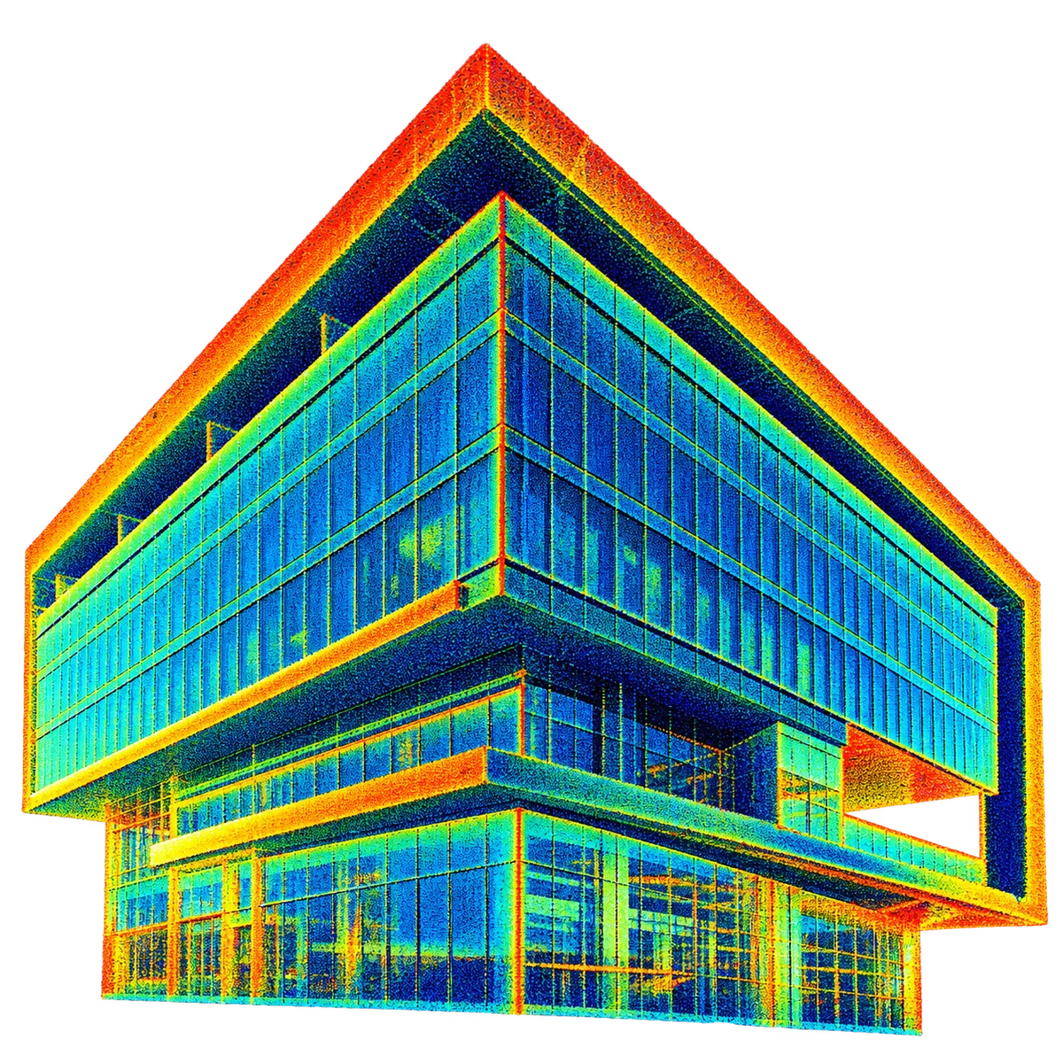
01 Registered point cloud supplied by the client, coloured by intensity.
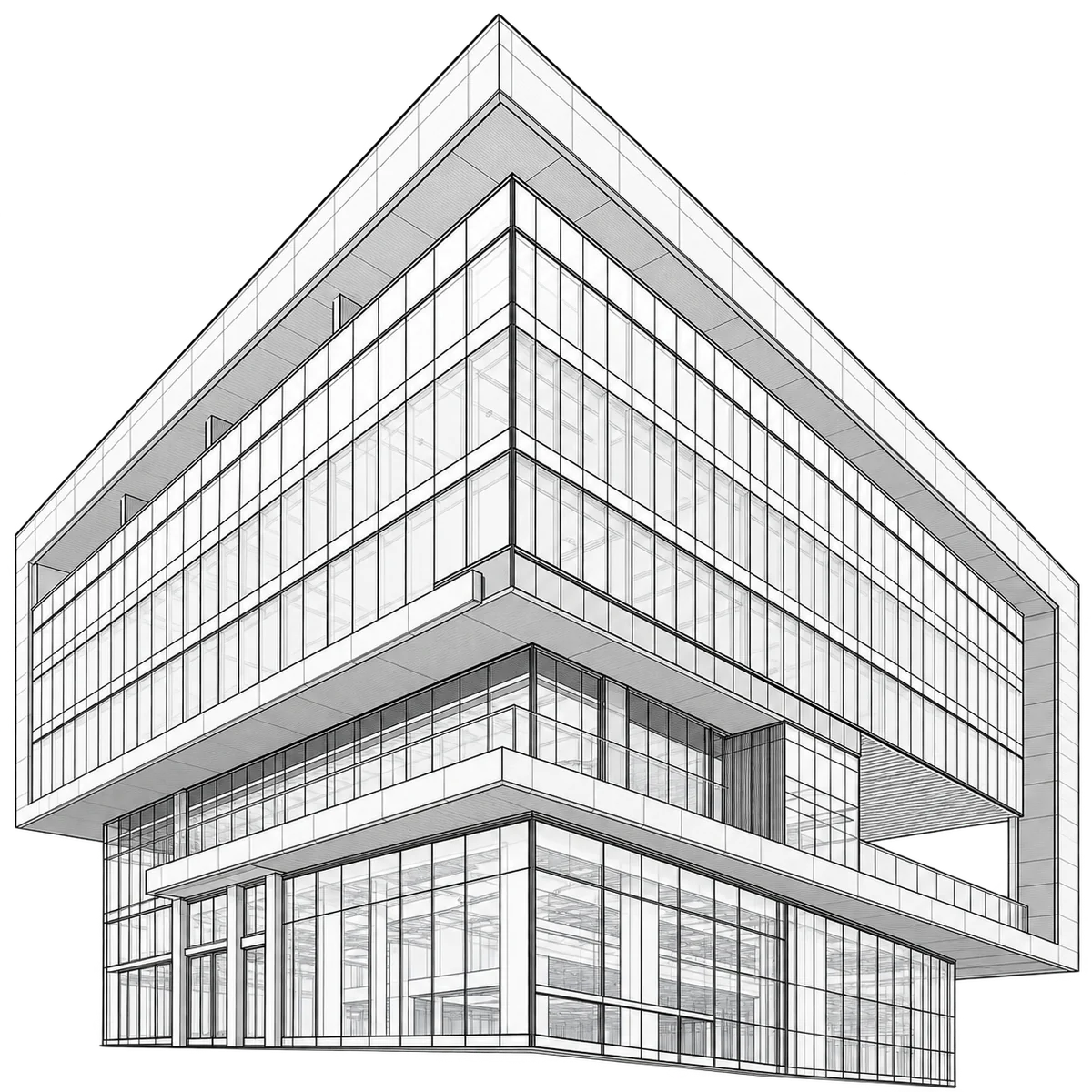
02 Wireframe check of the model against the point cloud.
03 Elevation geometry traced from the scan.
04 Section of the scan used for façade setting-out.
05 Presentation view for the client team.
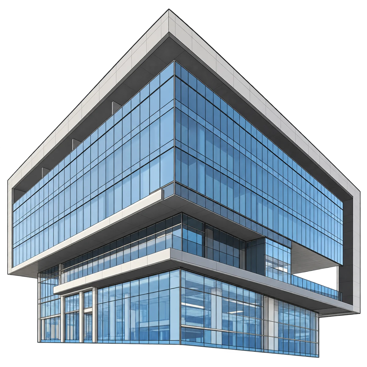
06 Finished model, materials applied.
04More Projects
Related work
 2023
Healthcare & Life Sciences
Hospital Campus MEPF BIM
For a UK healthcare trust
- Scope
- 280 beds
- LOD
- LOD 400
- 2024
Education & Civic
University Campus 4D Sequencing
For a North American contractor
- Scope
- 6 buildings
- Output
- 4D · Synchro
 2024
Transport & Aviation
Rail Corridor As-Built Modelling
For a European rail operator
- Scope
- 32 km · 110 stations
- LOD
- LOD 350
05Start a Free Pilot Project
Get a Free Pilot Project.
Point Cloud to BIM/CAD, BIM Modelling, Geospatial Deliverables, CAD Drafting, or CGI Visualisation.
Send us your scan data, drawings, or project brief. We'll deliver a sample BIM model, geospatial output, CAD drawing, or photorealistic CGI render as a 10-hour pilot — at no cost, no commitment, no obligation. Just proof that our BIM, CAD, and visualisation process delivers.
- Zero Risk
- Zero Commitment
- 10-Hour Pilot Scope
- NDA & ISO 27001 Protected
Your pilot runs the same process as your fiftieth project. ISO 9001 certified. NDA-protected. Zero hidden costs.